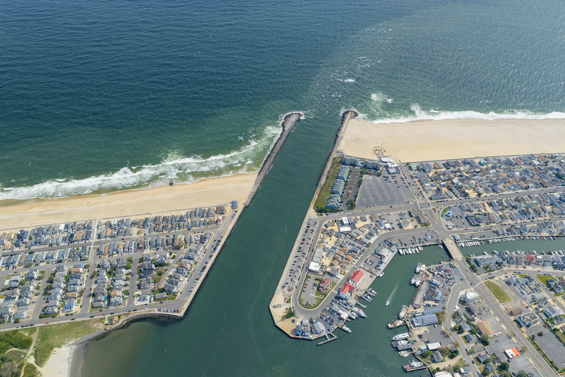
Point Pleasant has three kinds of water: the Manasquan River along the north side of the borough, the Point Pleasant Canal through the middle, and Beaverdam Creek and the bay at the south end. Each prices differently, and each comes with the same hard questions about docks, bulkheads and flood zones.
Dennis Mark Interdonato works from Keller Williams Realty Ocean Living on Richmond Avenue in Point Pleasant, and Point Pleasant and Brick are the two waterfront towns he works most. In construction since 2003, he reads a bulkhead, a dock and a house the way a builder does.
Before a waterfront home he lists goes live, or before his buyer writes an offer, he gets answers to five questions: whether the dock holds the state tidelands grant, lease or license and its own permits; how old the bulkhead is, what it’s made of and what a bulkhead contractor’s inspection finds; the FEMA flood zone, the elevation certificate and the flood insurance history; anything Borough Hall has on file about substantial damage or elevation, through a public records (OPRA) request; and what an insurance broker who knows shore homes quotes for the homeowners and flood policies. The borough’s Flood Hazard Information page is a good place to start.
The borough’s water neighborhoods include Bay Head Shores, with bay and lagoon homes west of the canal; Sunshine Harbor, where Beaverdam Creek meets the bay; Lovelandtown by the canal; and the Riverfront Park section on the Manasquan River, near the borough’s river beaches at Maxson Avenue and River Avenue.
In his words: “Home insurance and flood insurance are two completely different things. They’re two completely different policies.” See Waterfront Homes.